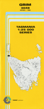
TAS 3049 – Grim Online
Description
This Topographic Map is produced by the Department of Primary Industries, part of the Tasmanian Government.
These maps are an important resource for Government, industry, and the public. They are used for environmental and emergency management, farm planning and mineral exploration. They are also popular for recreational users such as bushwalkers, mountain bike and horse riders.
The PDF version of this can be printed at home or sent to a professional printer for a 100% scale reproduction.
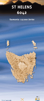
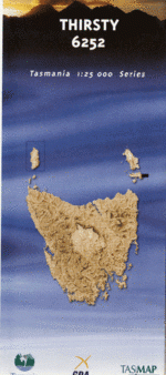
At this scale, 4cm on this map represents 1km on the ground. A standard map (which is square) covers an area of approximately about 12.5km by 12.5km, with a contour interval of 10m. This map contains natural and constructed features including road and rail infrastructure, vegetation, hydrography, contours, localities and some administrative boundaries.
Annes Bay Boullanger Bay Cape Grim Cavern Cliff Cavern Island Cavern Island Conservation Area Clump Island Colliboi Beach Crescent Bank Davisons Bay Davisons Point Flat Rock Gum Bottom Harbour Islets Harbour Islets Conservation Area Kangaroo Island Kangaroo Island Conservation Area Little Creek Little Trefoil Little Trefoil Conservation Area Murkay Islets Murkay Islets Conservation Area Prospect Hills Sealers Springs Shell Islets Shell Islets Conservation Area Shoal Inlet Short Island Slaughter Hill Steeple Rock Suicide Bay Swan Bay The Doughboys The Doughboys Nature Reserve Three Sticks Run Tigers Hole Trefoil Island Valley Bay Victory Hill Wallaby Islands Welcome Heath Woolnorth Woolnorth Anchorage Woolnorth Point Dennys Lookout Highbury Trefoil Islet Murkay Island
Additional Information
| Title | Pdf Download |
|---|
Related products

lifemanhattanus.shop © 2025 All Rights Reserved