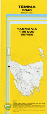
TAS 3043 – Temma Discount
Description
This Topographic Map is produced by the Department of Primary Industries, part of the Tasmanian Government.
These maps are an important resource for Government, industry, and the public. They are used for environmental and emergency management, farm planning and mineral exploration. They are also popular for recreational users such as bushwalkers, mountain bike and horse riders.
The PDF version of this can be printed at home or sent to a professional printer for a 100% scale reproduction.
At this scale, 4cm on this map represents 1km on the ground. A standard map (which is square) covers an area of approximately about 12.5km by 12.5km, with a contour interval of 10m. This map contains natural and constructed features including road and rail infrastructure, vegetation, hydrography, contours, localities and some administrative boundaries.
Kaywood Barney Creek Big Eel Creek Couta Rocks Cyril Creek Dartys Corner Eva Point Gaffney Point Kenneth Creek Lady Kathleen Beach Little Eel Creek Little Frenchman Nelson Bay River No Mans Creek Pardoe Creek Pollys Bay Poppys Lagoon Possum Banks Possum Banks Lagoon Rachel Creek Rebecca Creek Rebecca Lagoon Rebecca Point Richardson Point Temma Temma Harbour Templars Creek Lobster Rocks Nelson Bay River Bridge Rebecca Creek Forest Reserve Whale Boat Harbour Whales Boat Harbour Richardsons Point The Little Frenchman
Additional Information
| Title | Pdf Download |
|---|
Related products


lifemanhattanus.shop © 2025 All Rights Reserved